| (ↄ) | Dror Bar-Natan: Album: | About Recent Changes Random |
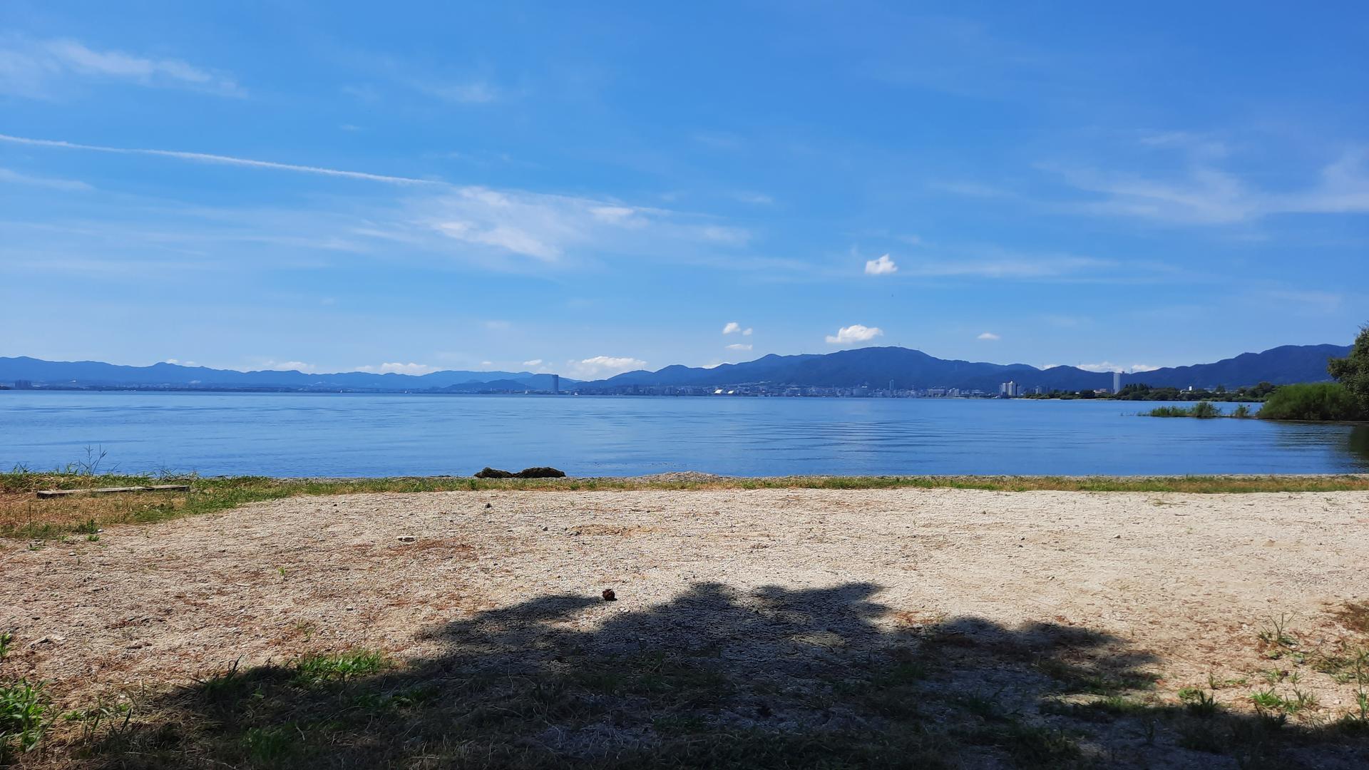
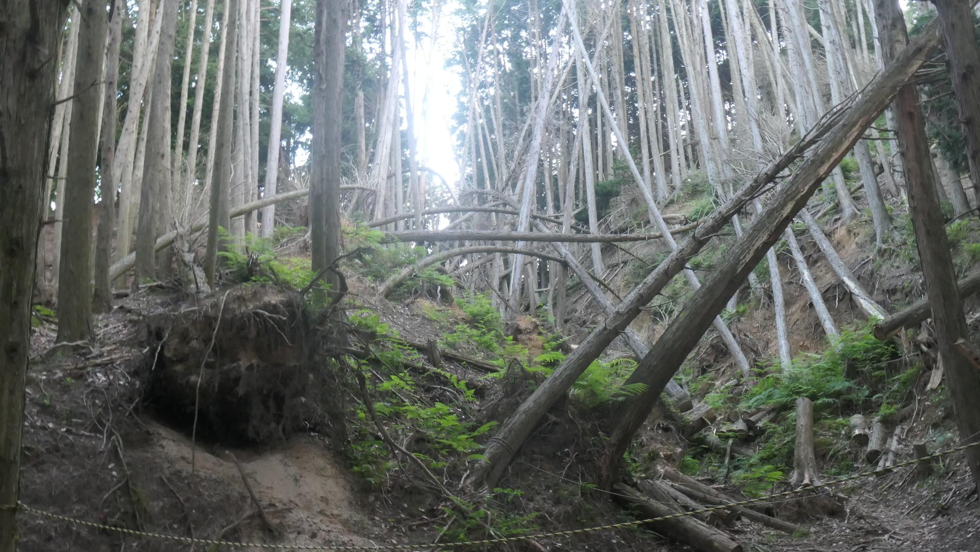
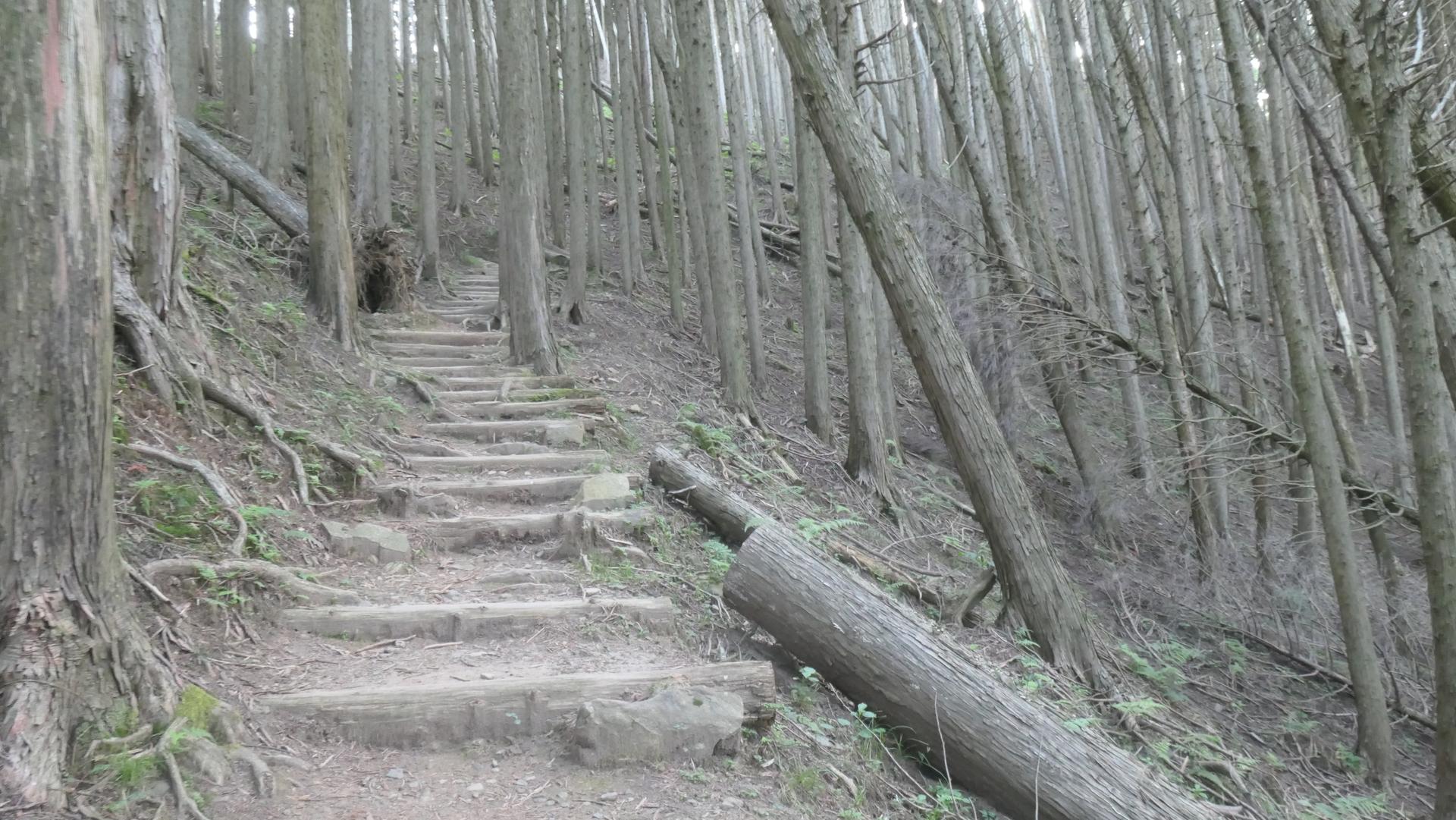
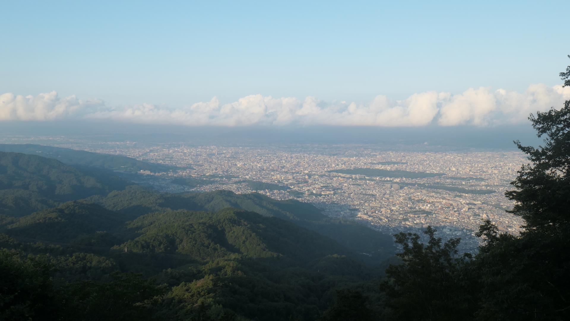
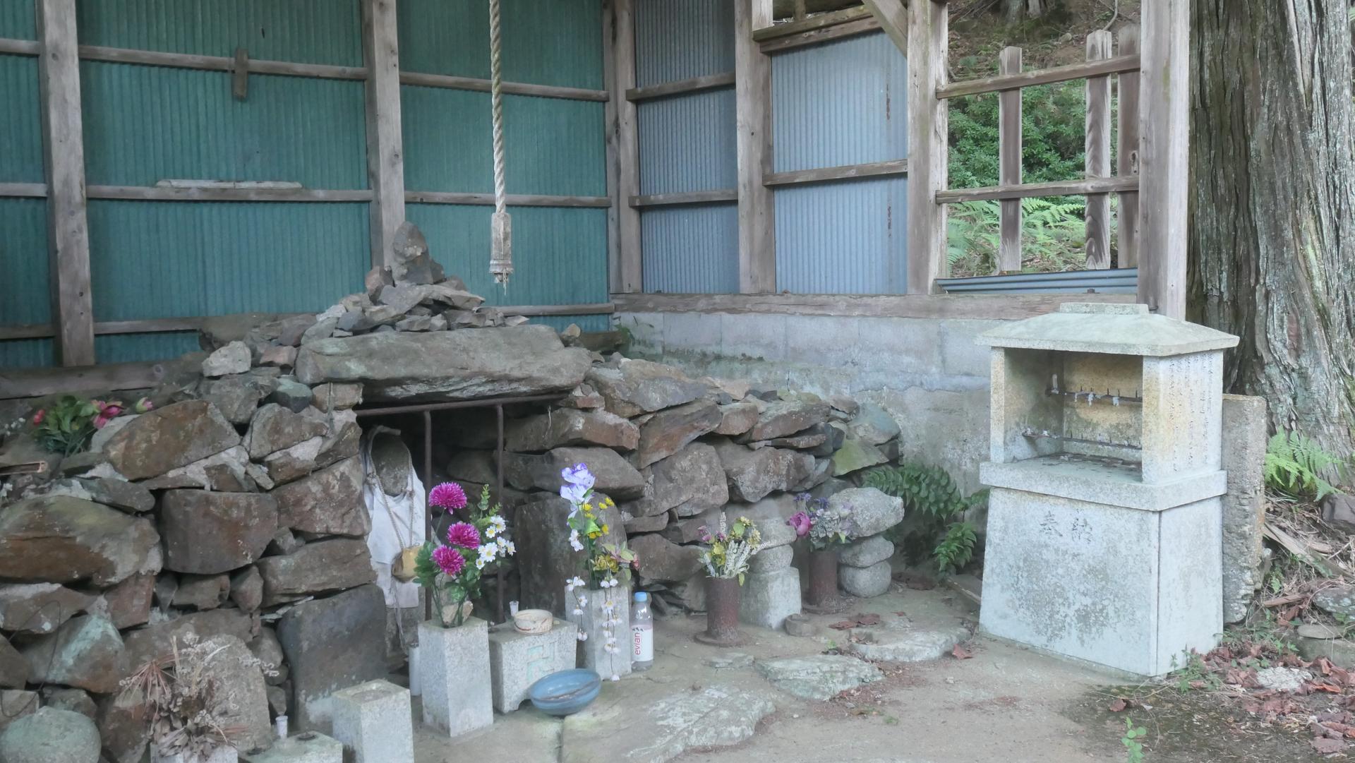
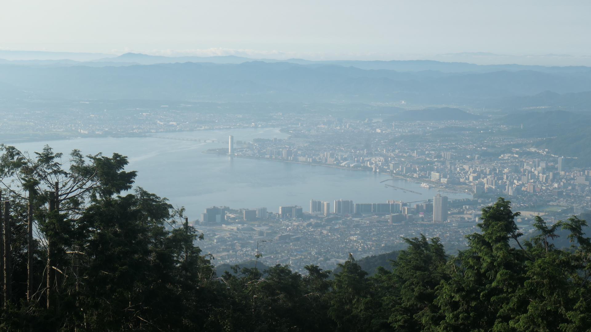
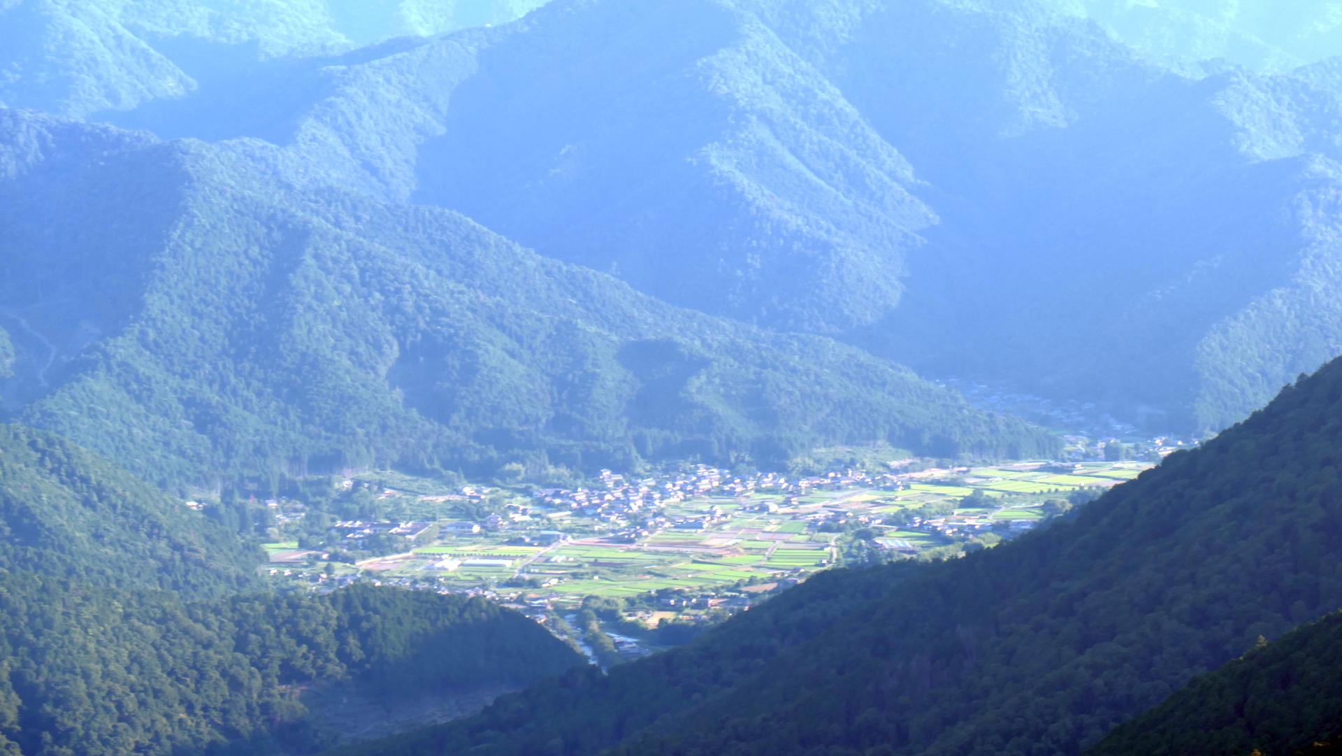
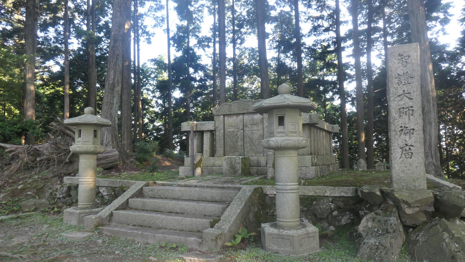
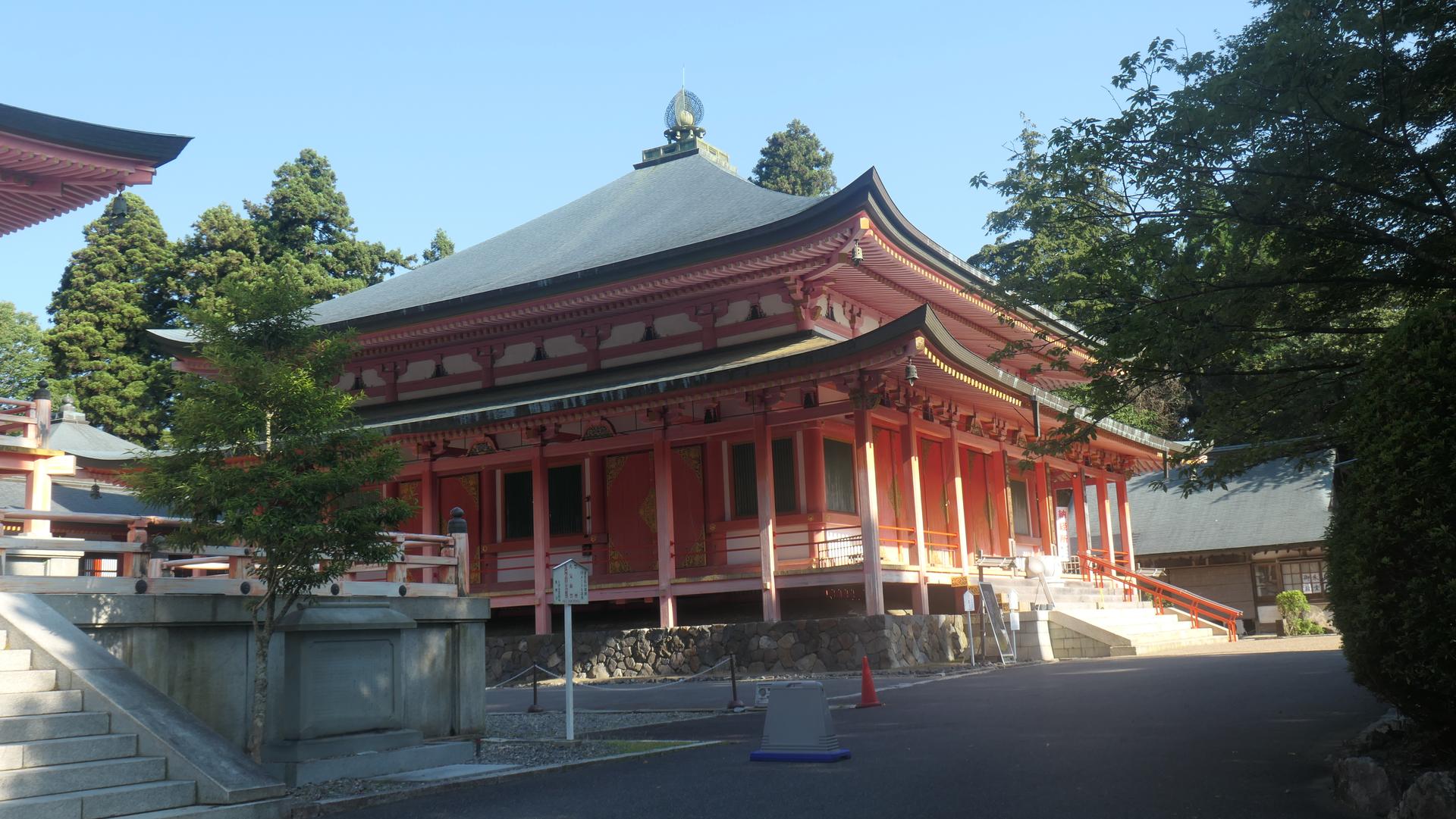
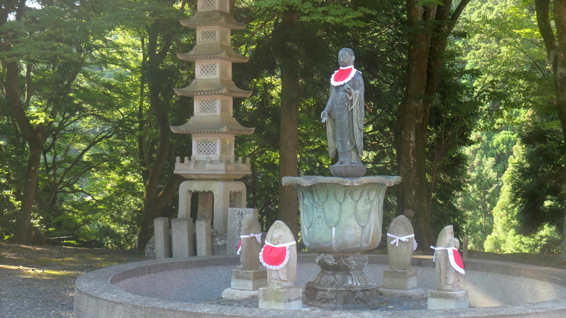
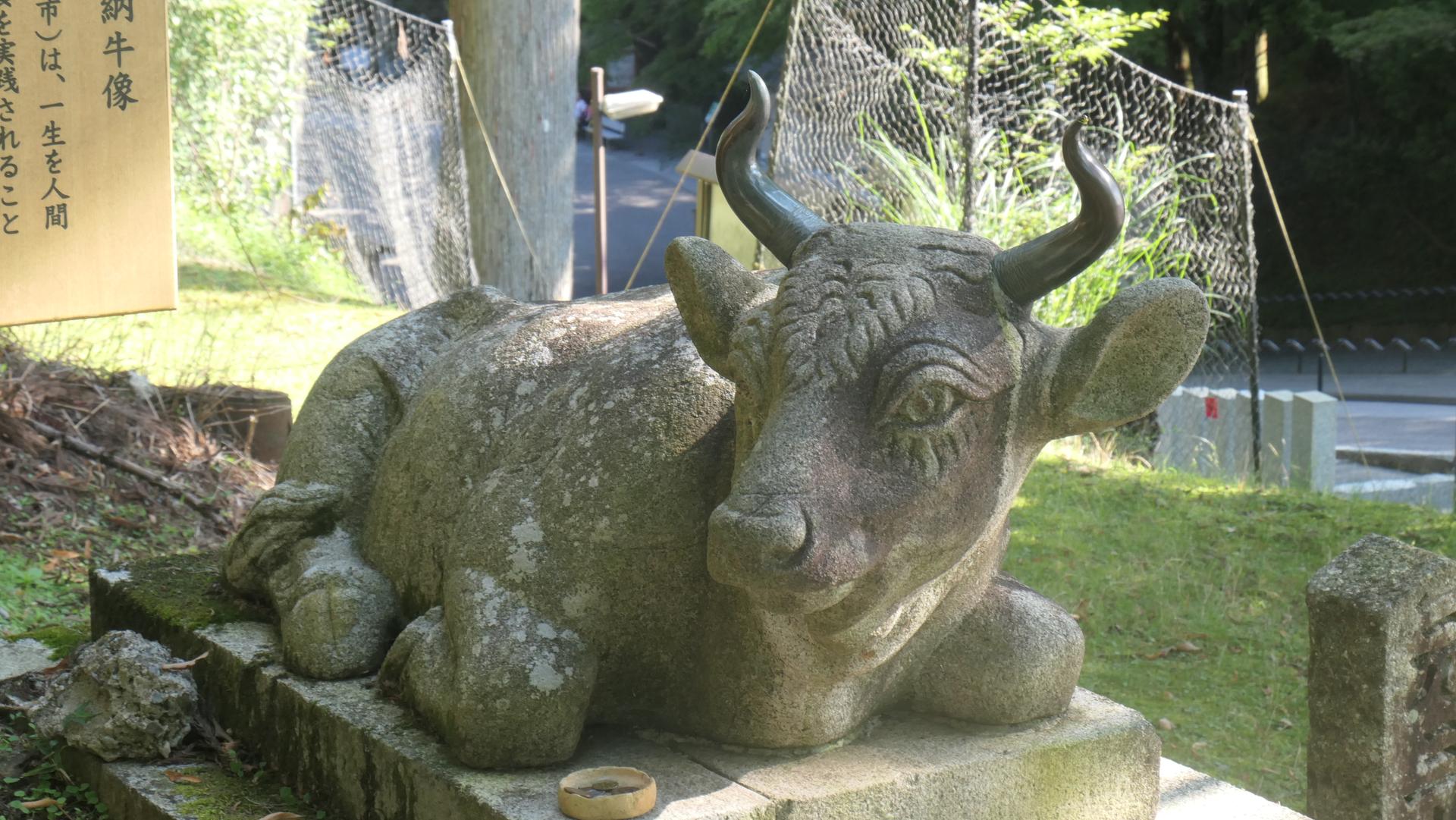
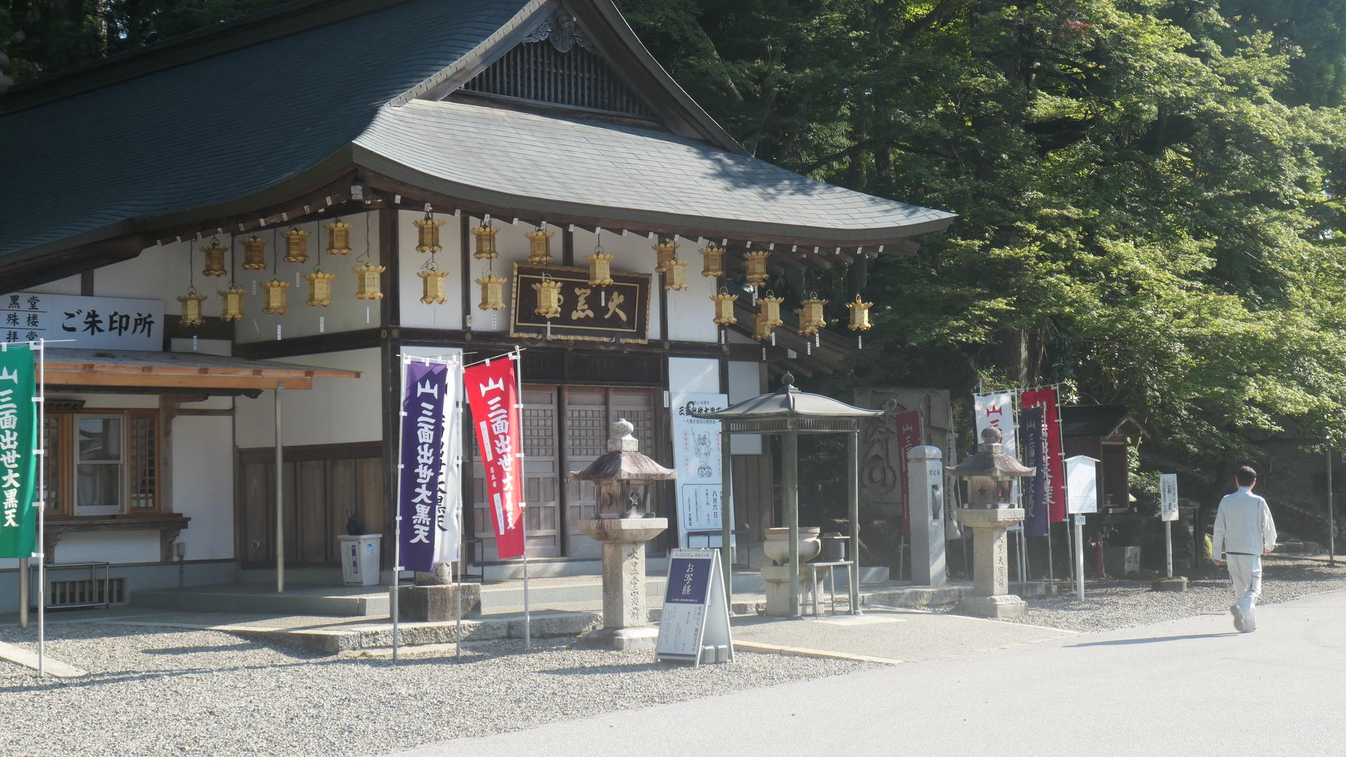
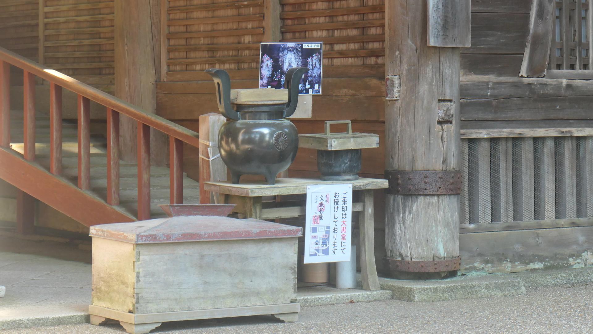
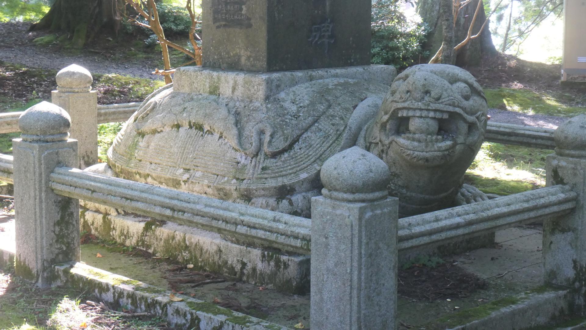
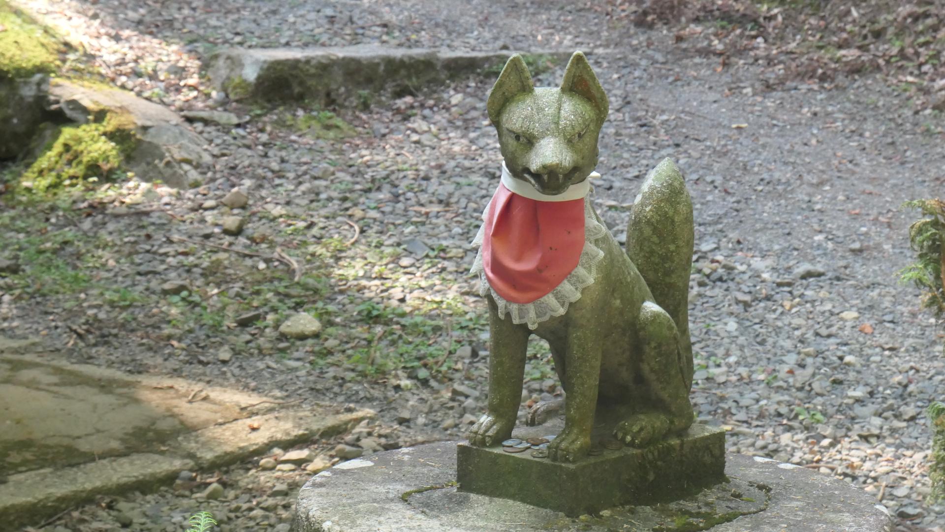
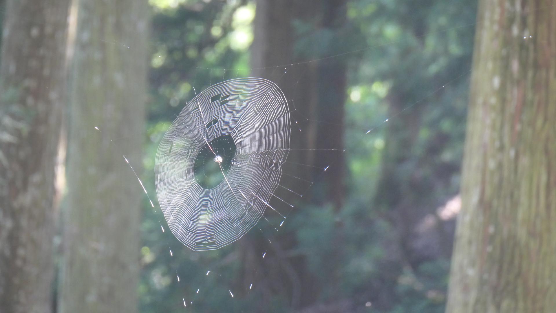
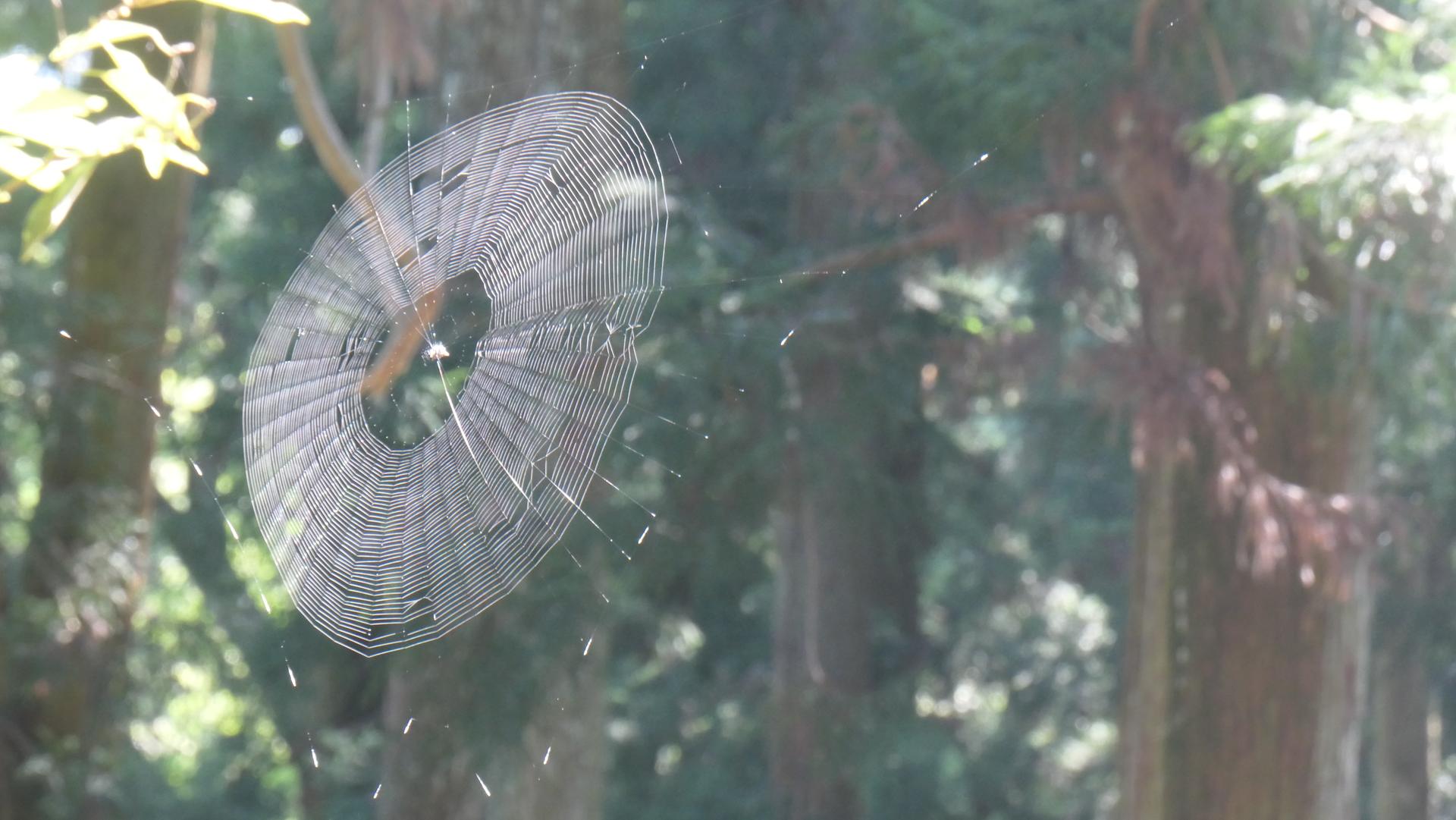
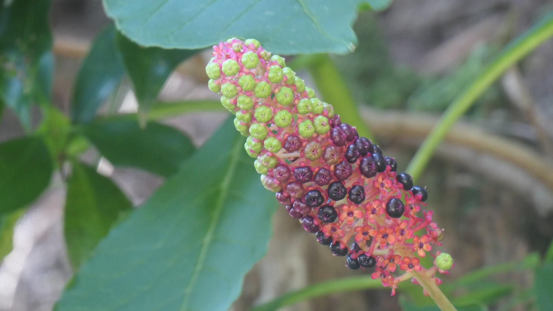
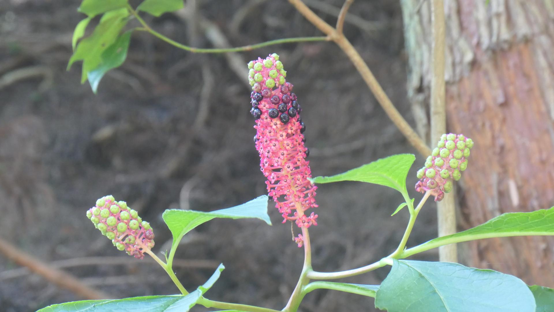
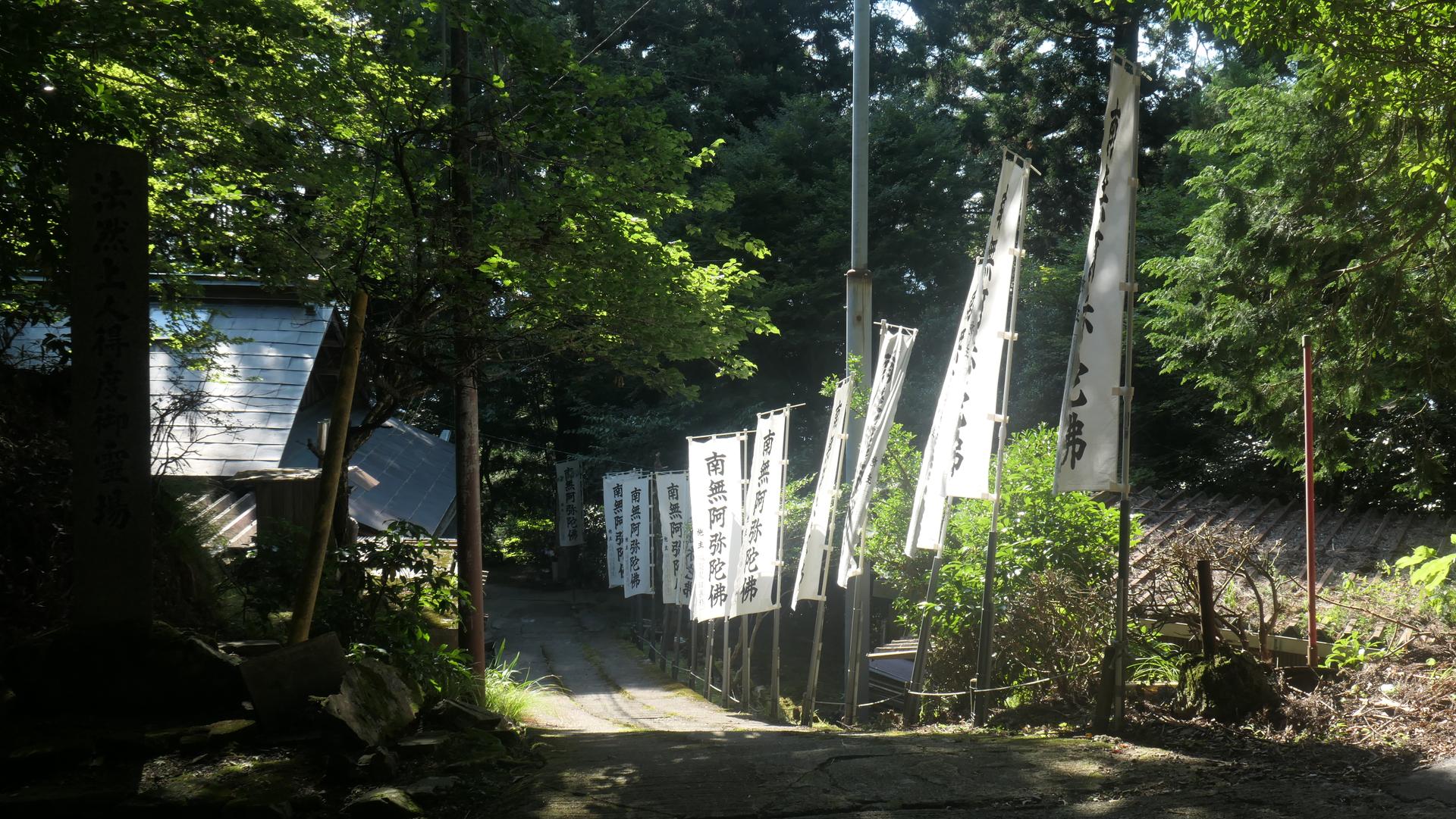
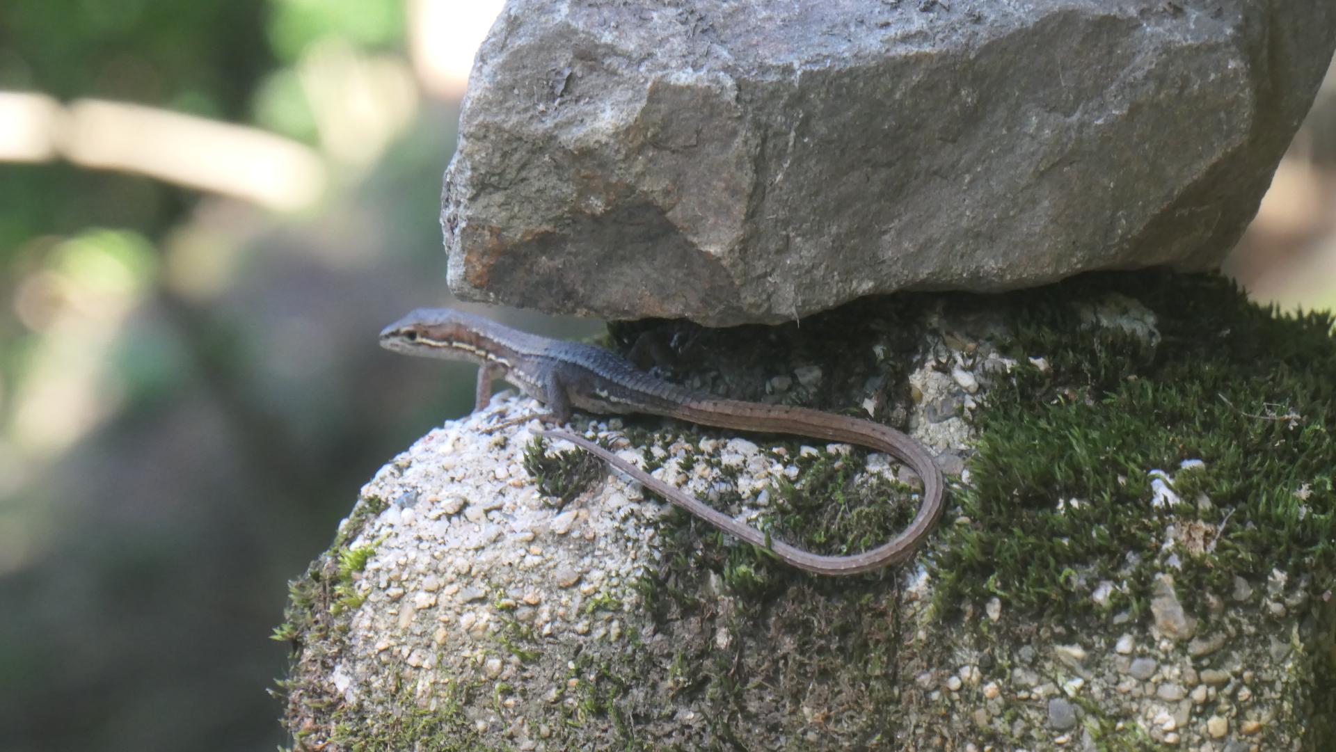
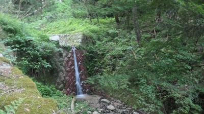
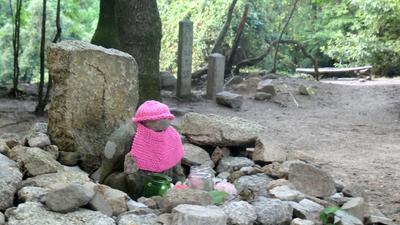
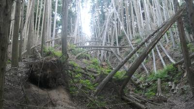
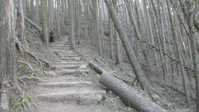
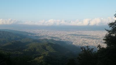
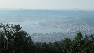
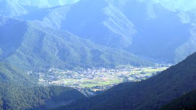
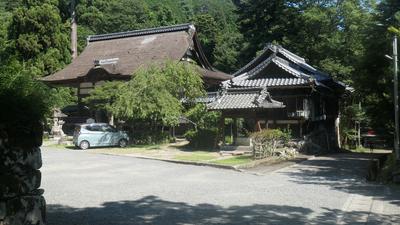
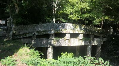
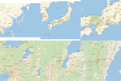
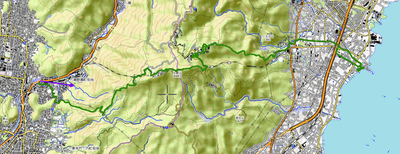
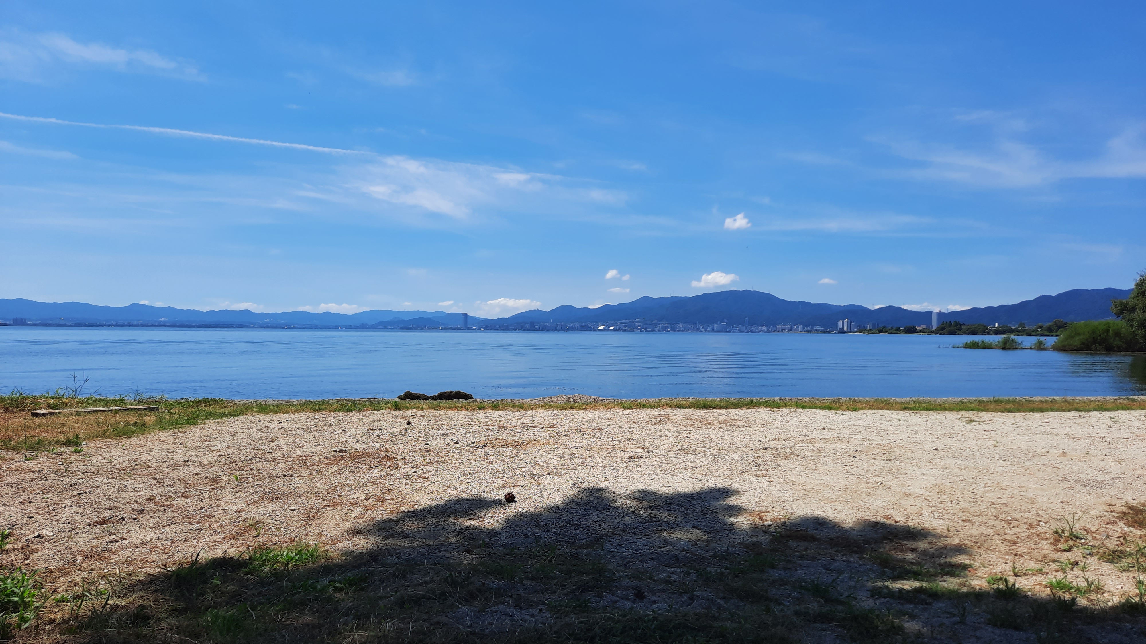
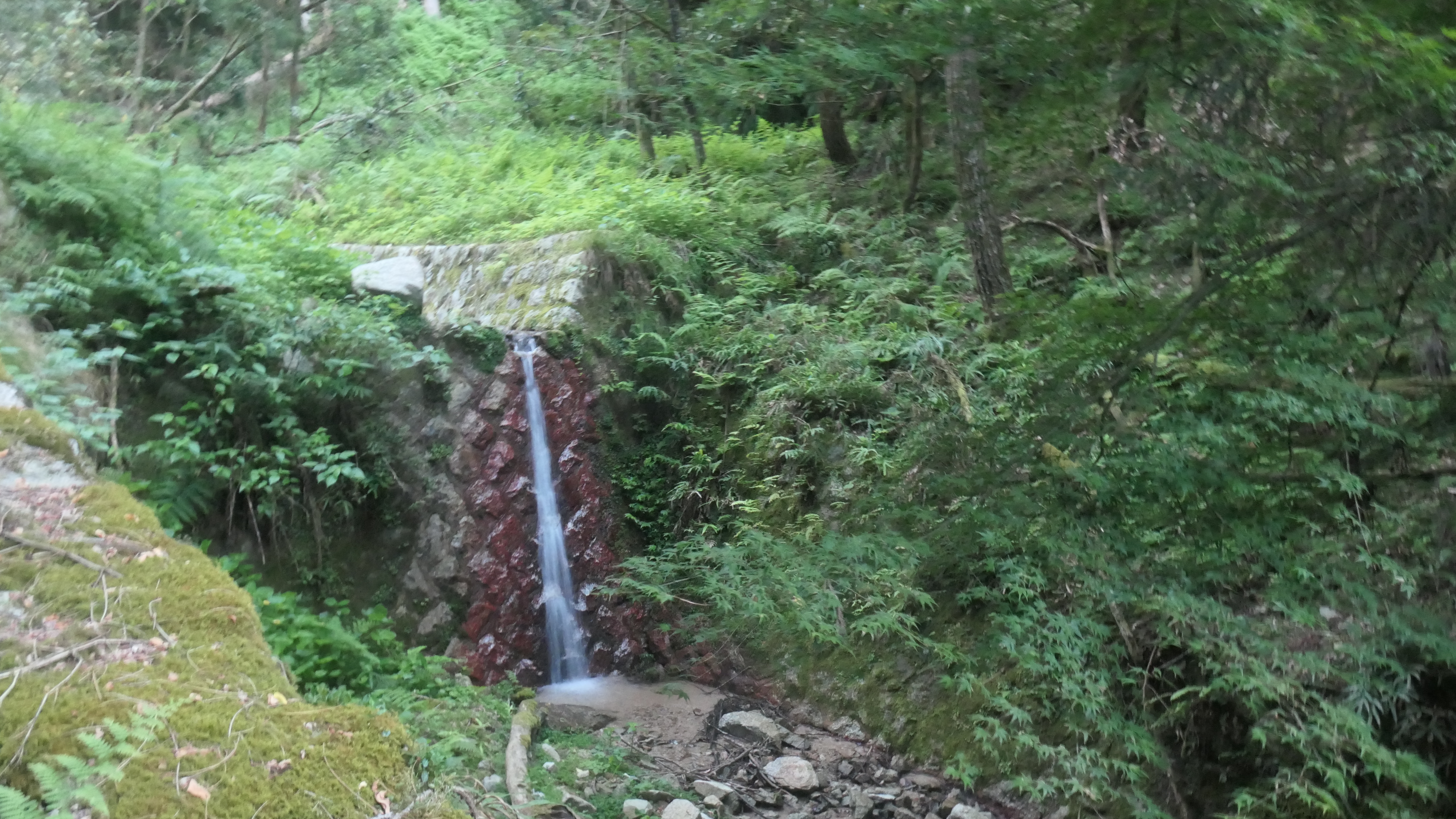
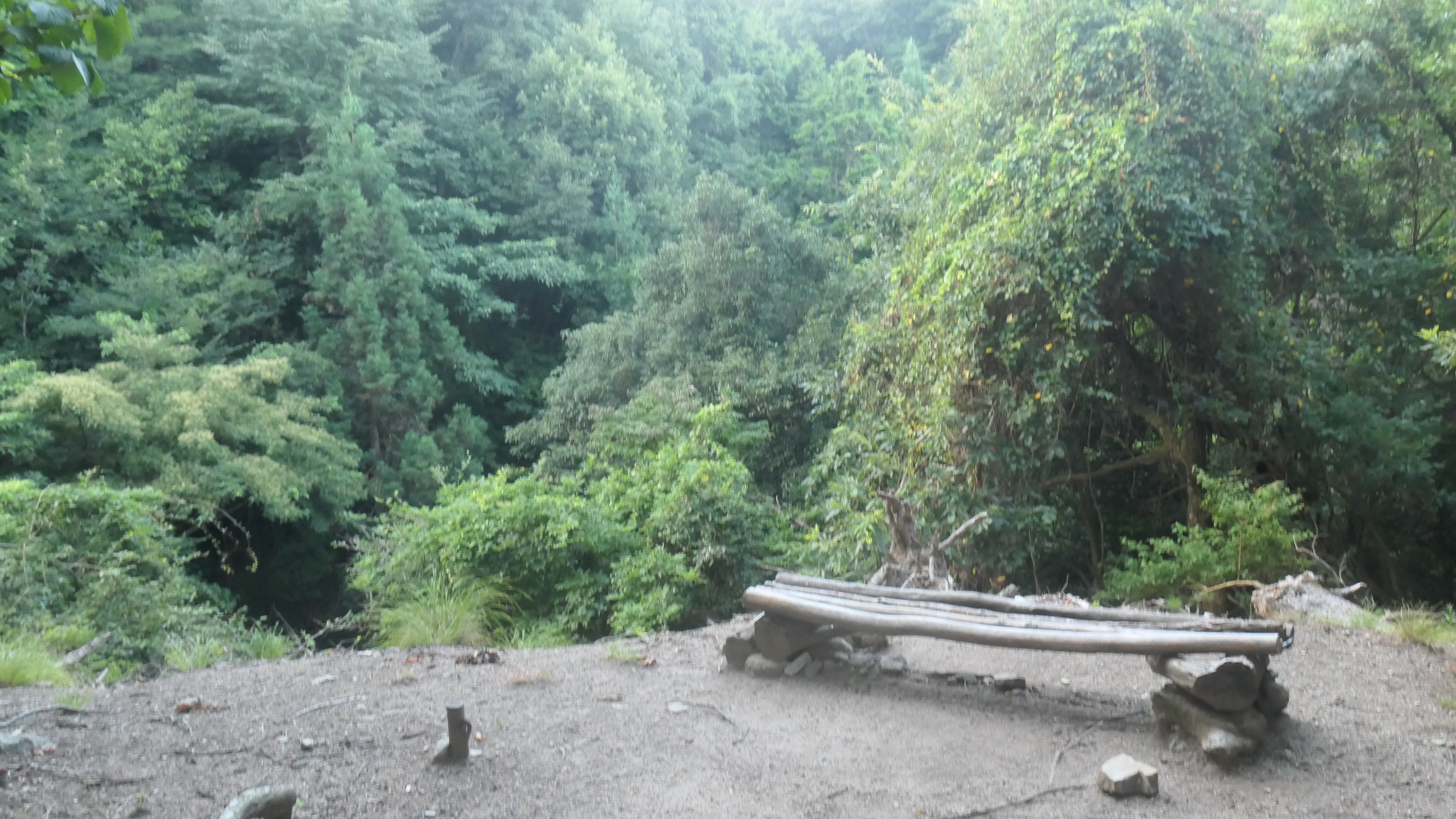
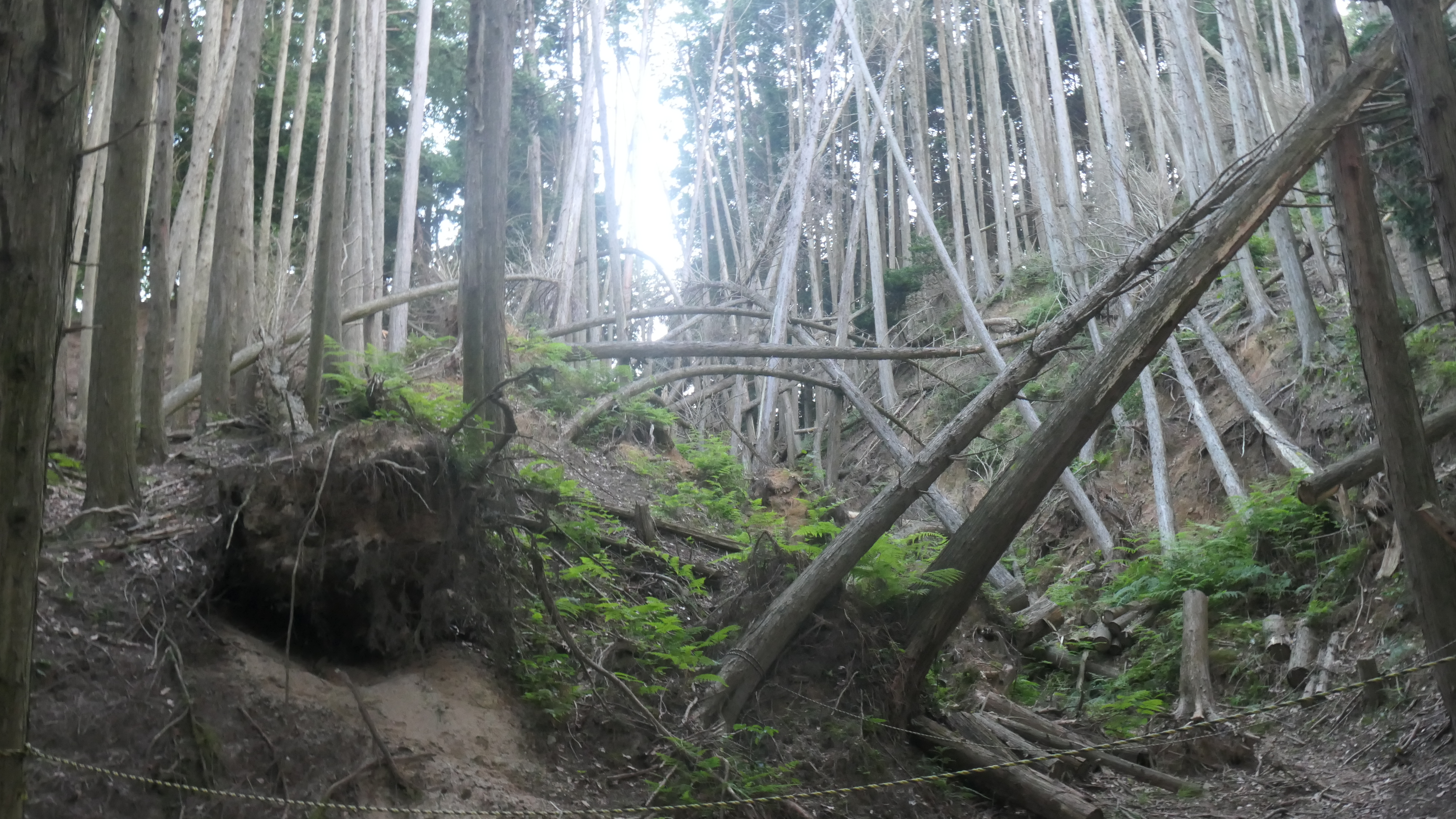
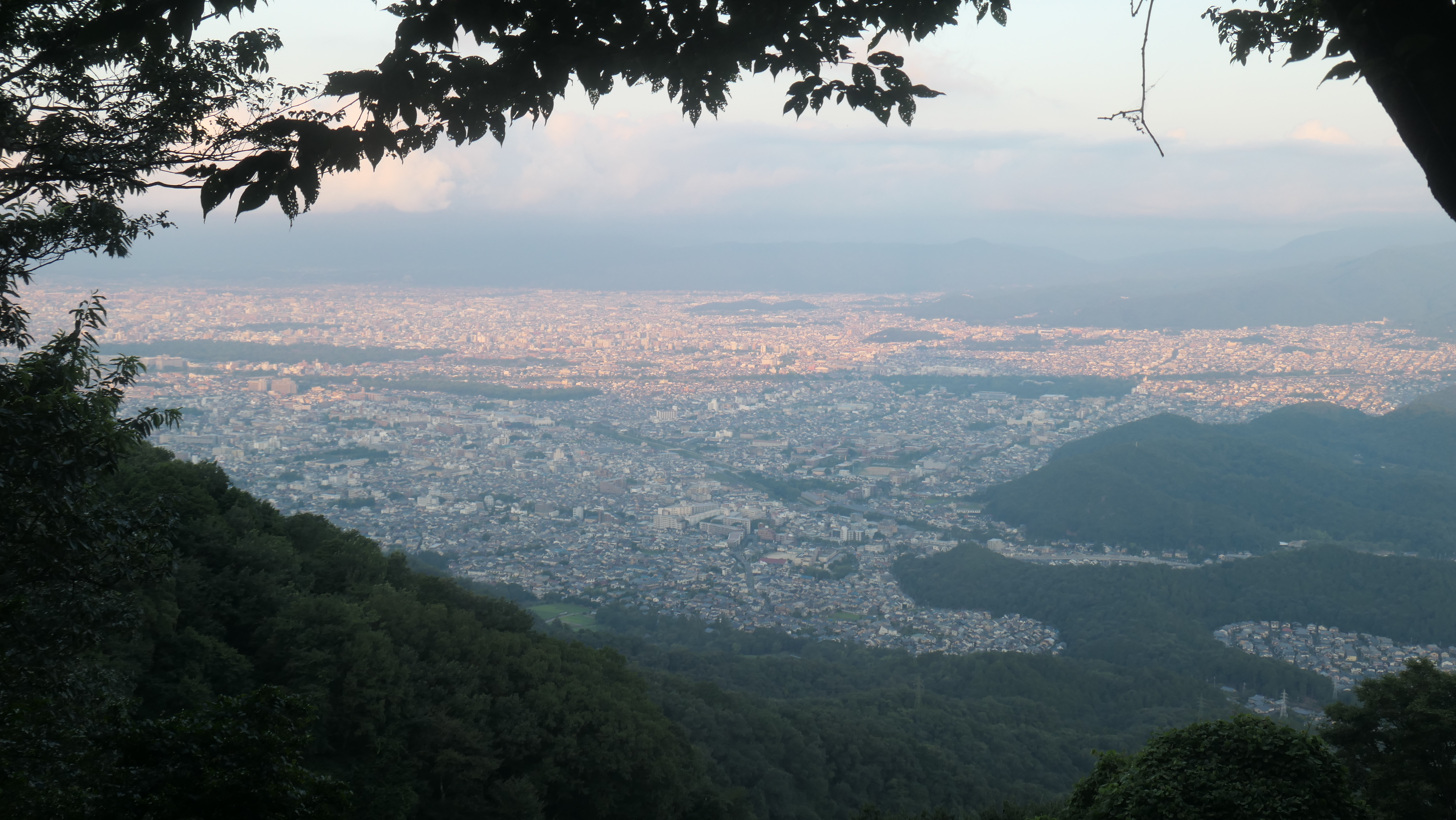
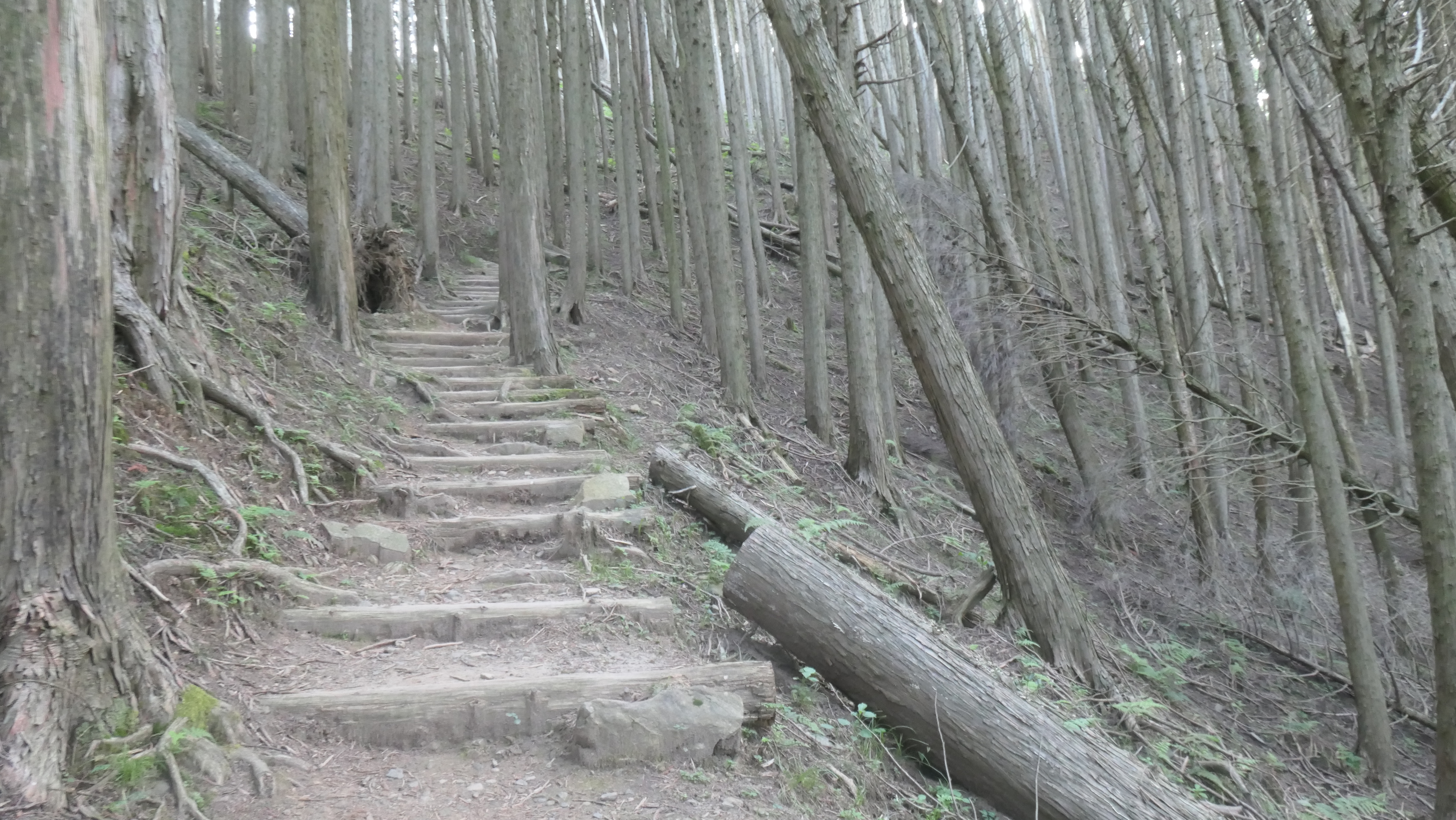
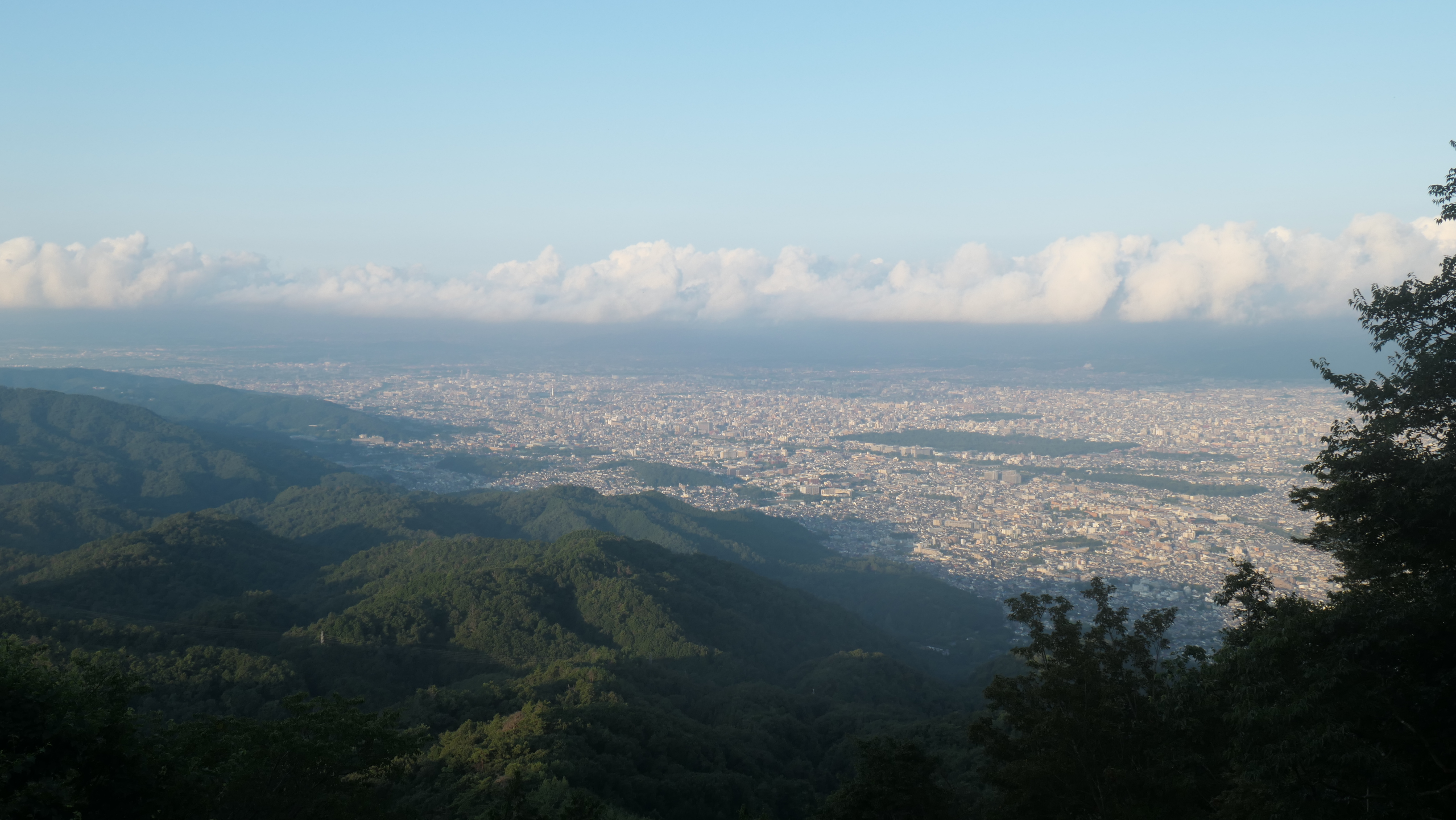
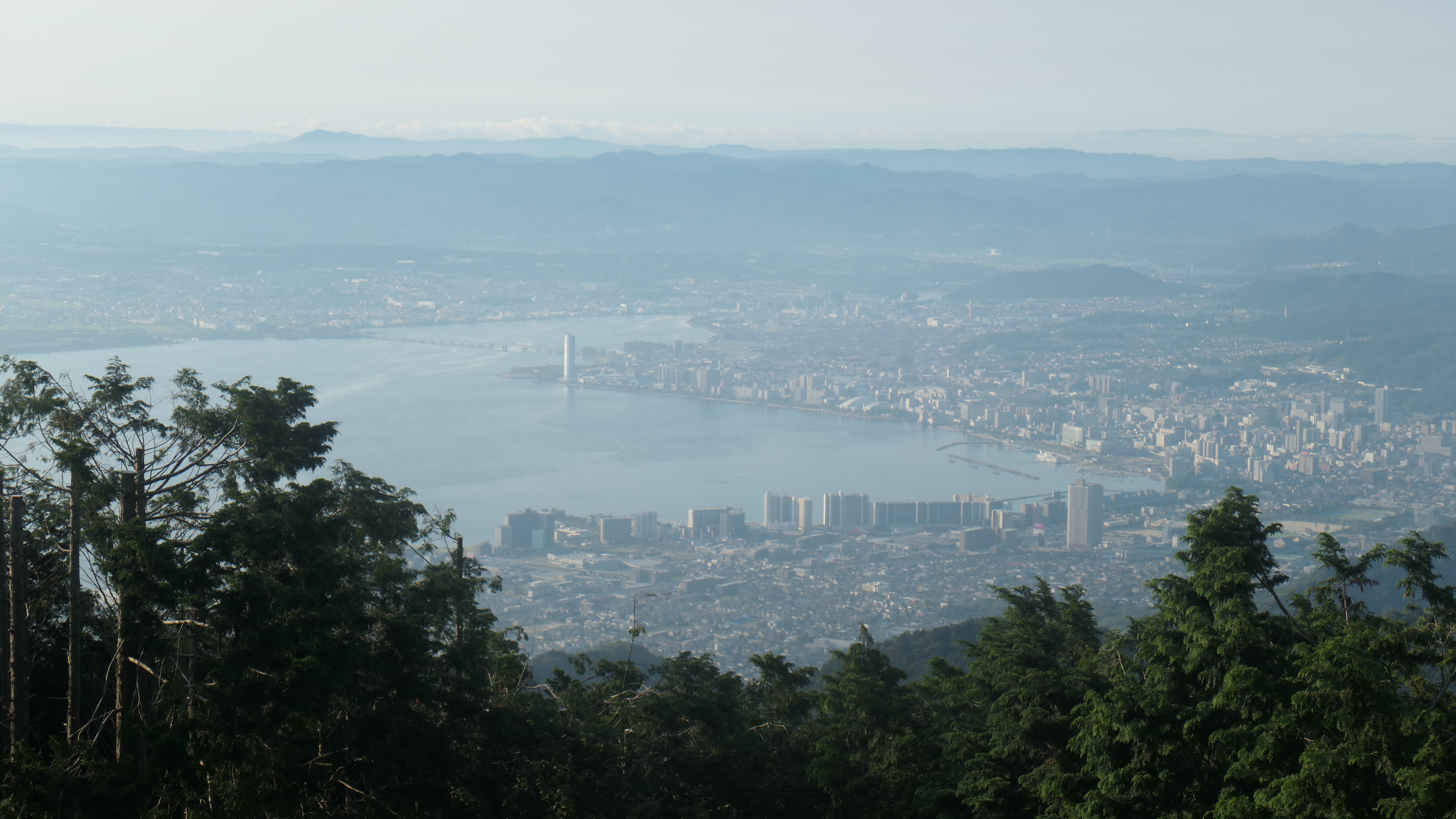
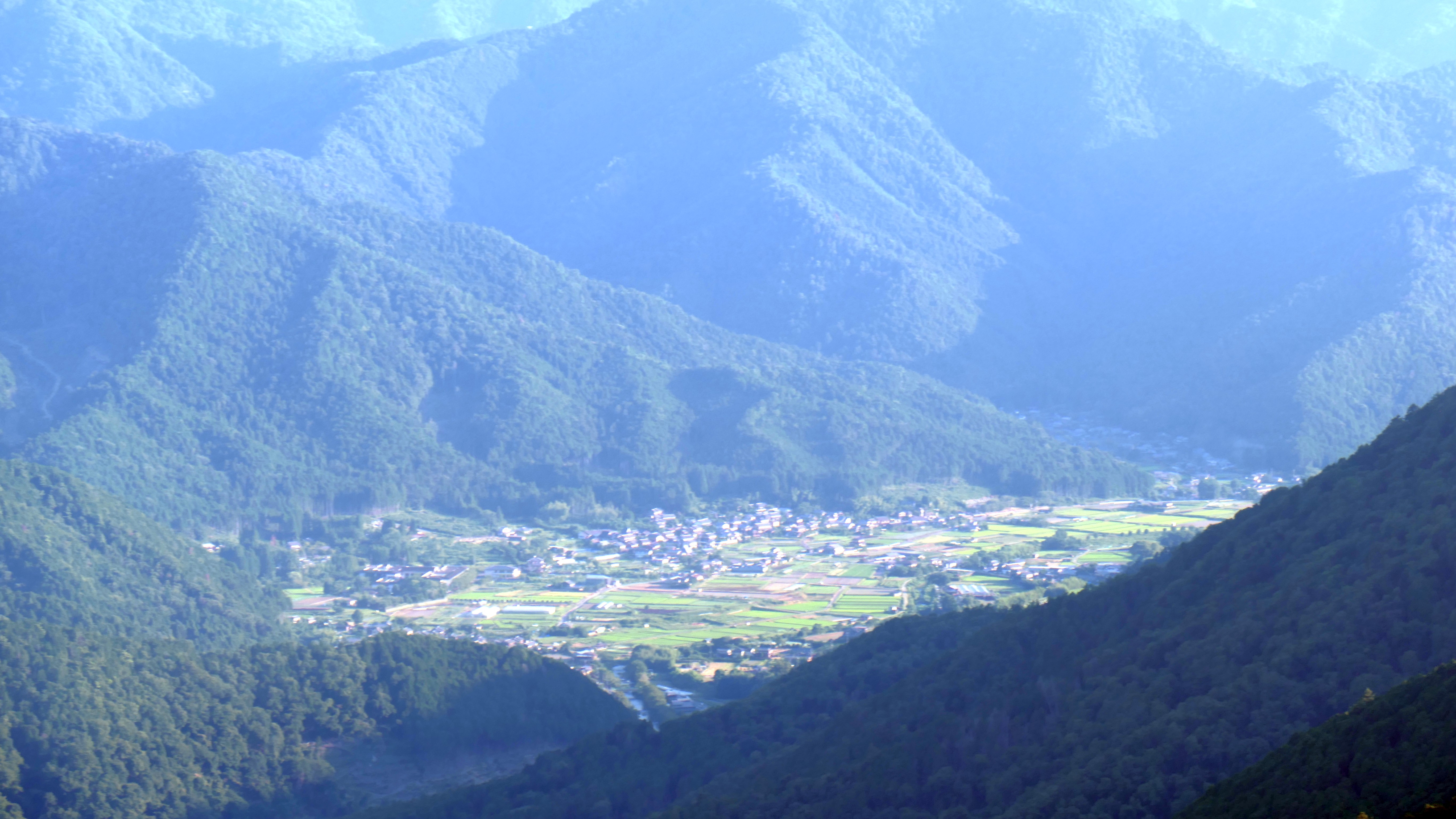
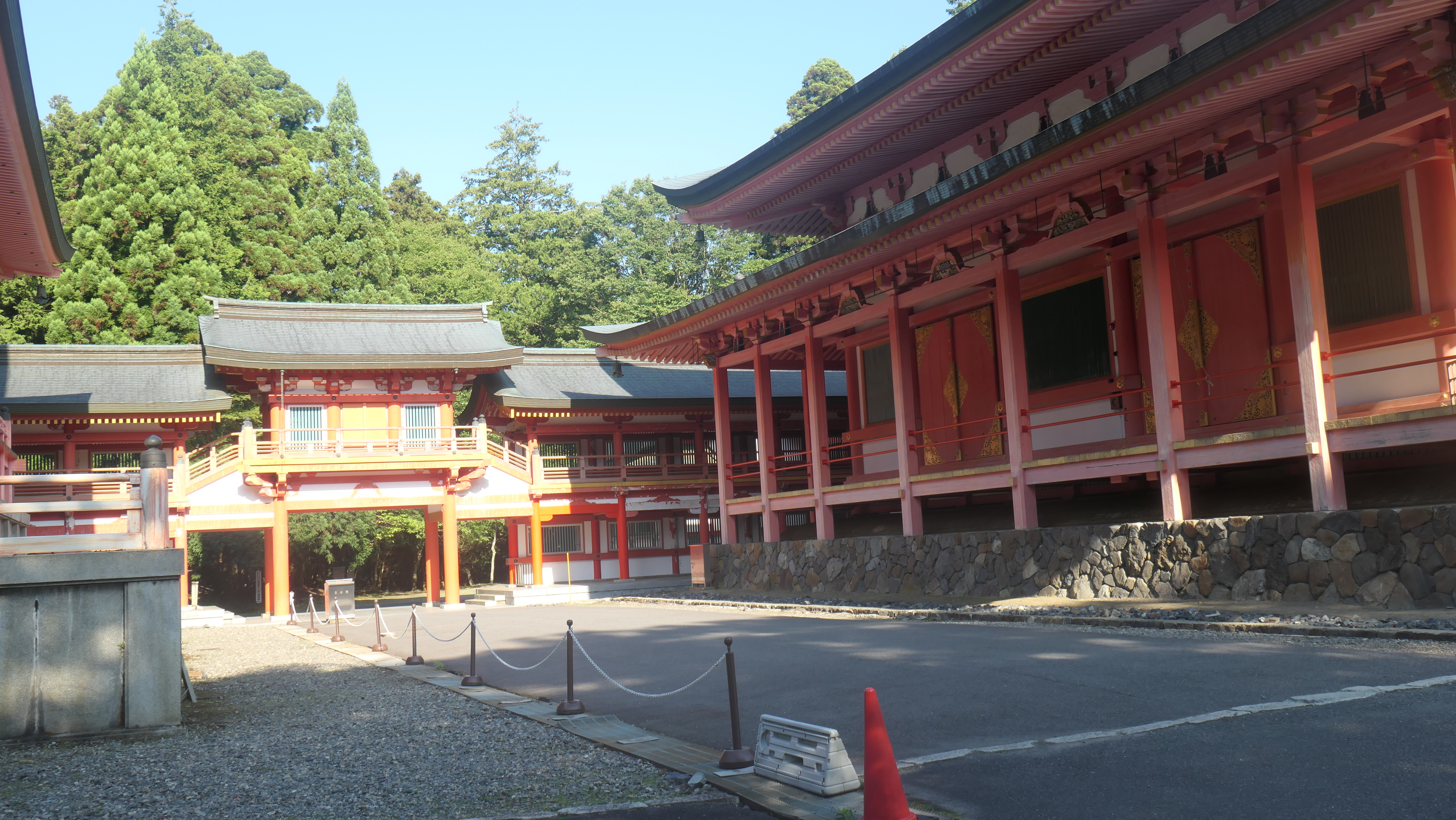
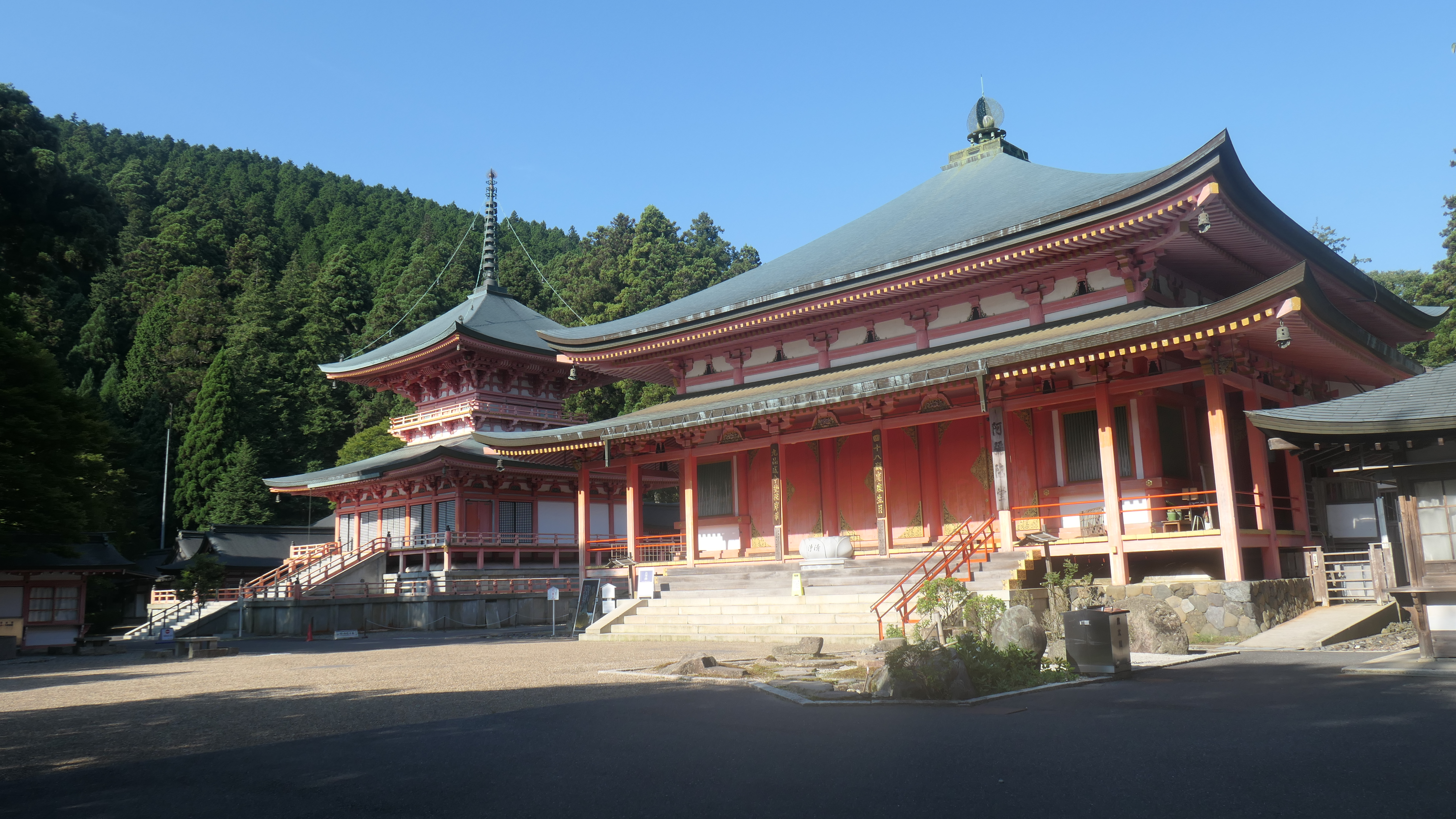
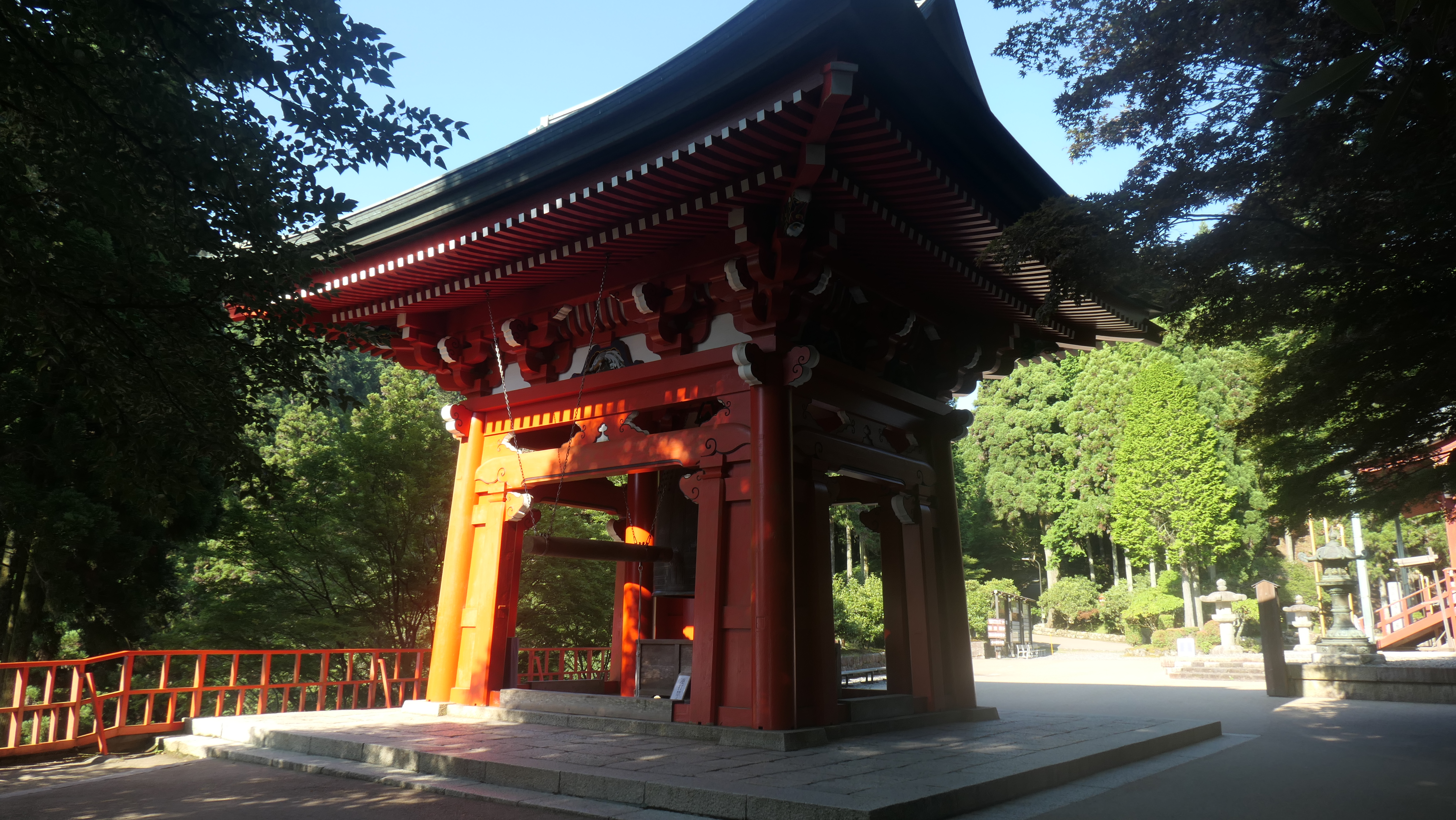
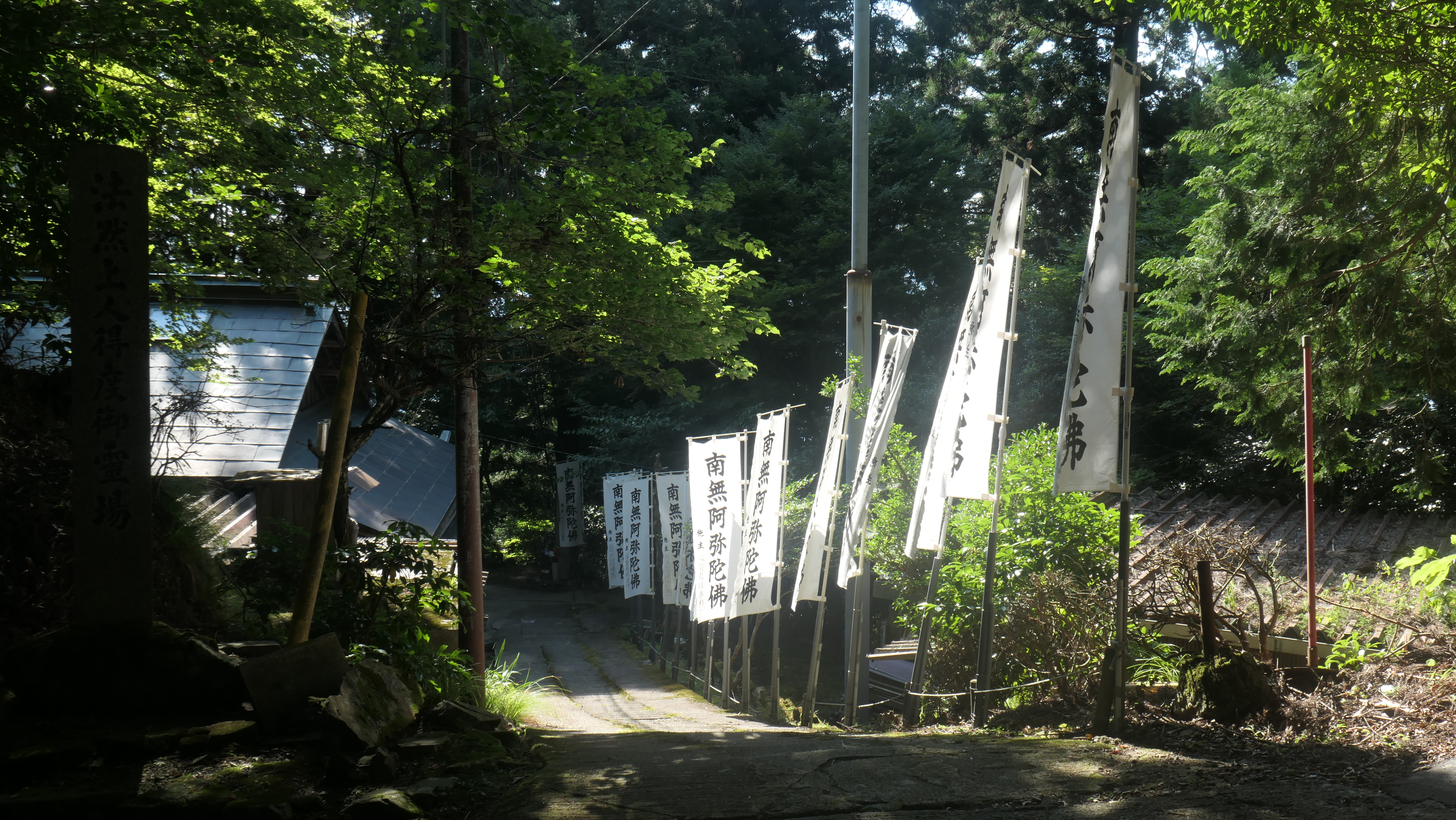
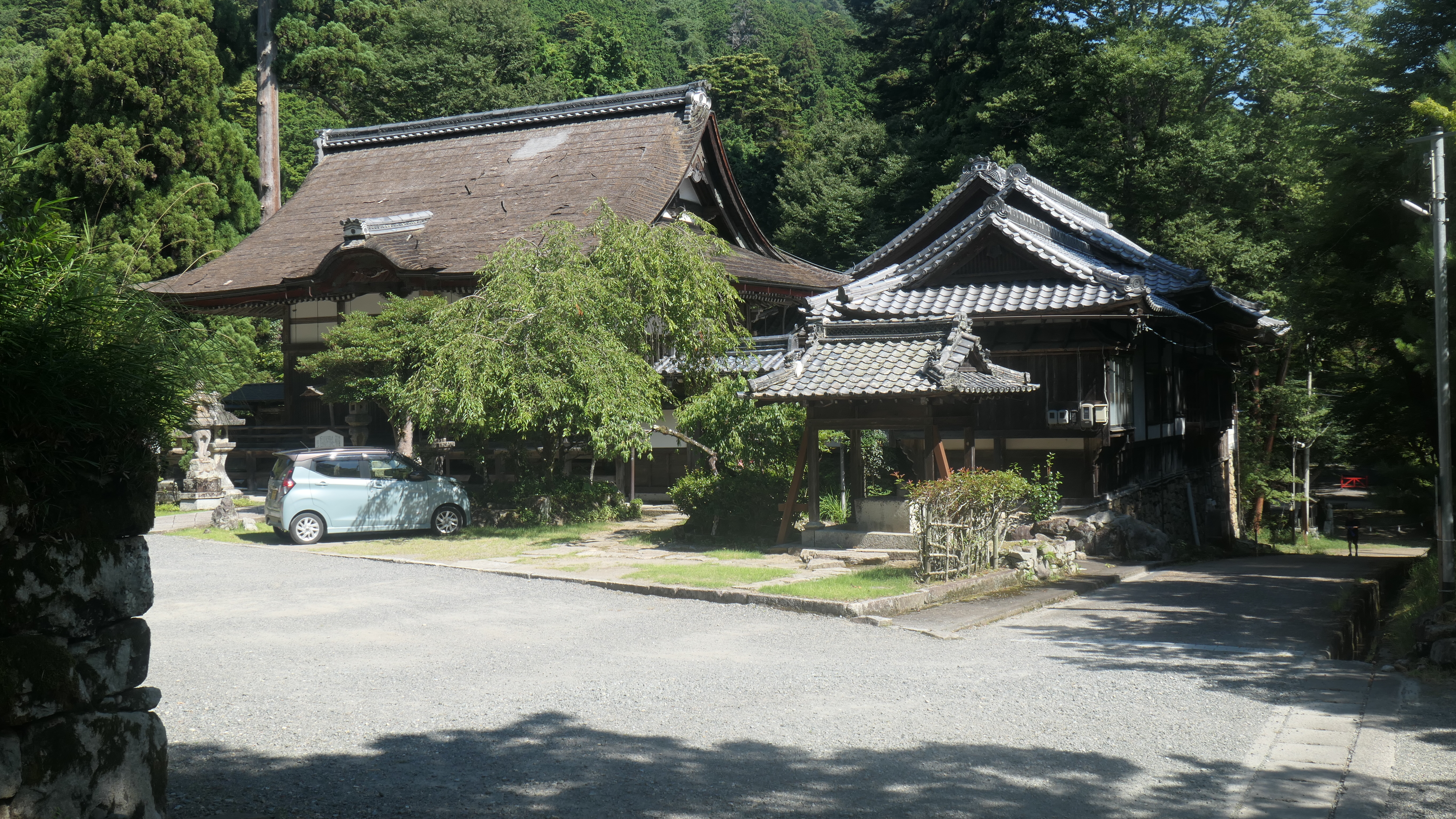
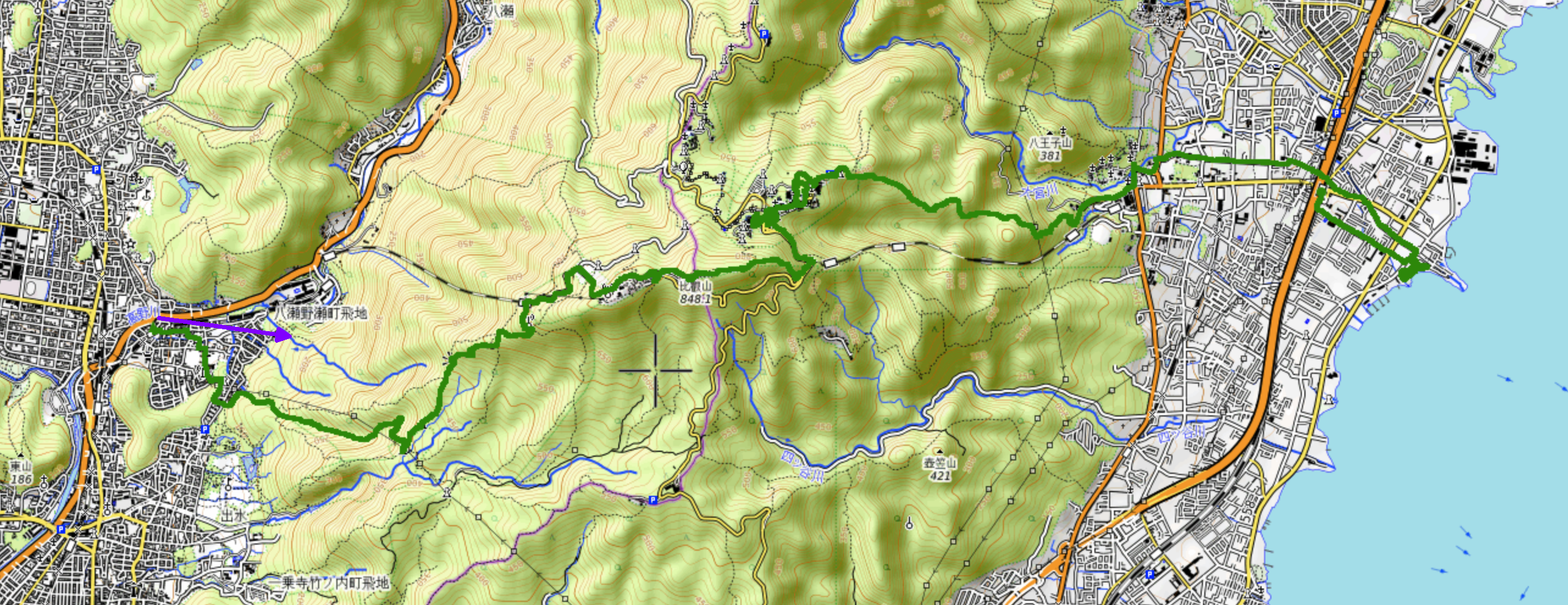
About 16.7km, including about 745m of net ascent and about 767m of net descent. The forecast called for 38C in Kyoto today, so I started walking at first first light, around 4:30am, so as to have at least the climb in cooler weather. Then at the end I went for a lovely swim in Lake Biwa, still wearing my pants and my shirt and my hat. They were so sweaty, they deserved a wash!
Arrival to the starting point by taxi, return by train.
<< Mathematica Notebooks >>
| Notebook (.pdf) | Source (.nb) | Created | Last Modified | Summary | |
|---|---|---|---|---|---|
| 1 | index | source | 2024-03-17 11:32:48 | 2023-07-29 02:17:49 |
<< Links >>
- Studied 2023-07-29 01:40:55: Plan.
<< Images >>


